
The walk
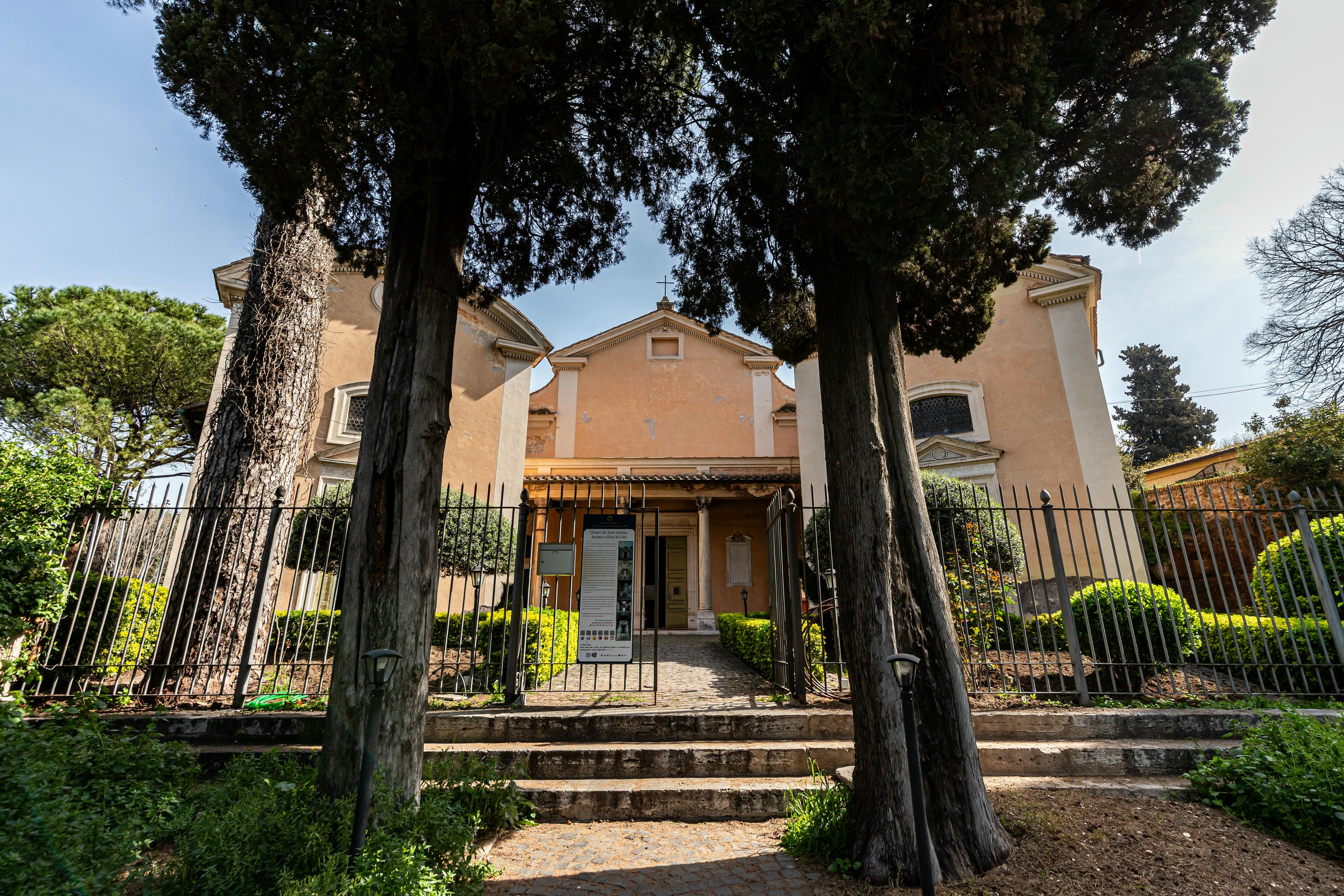
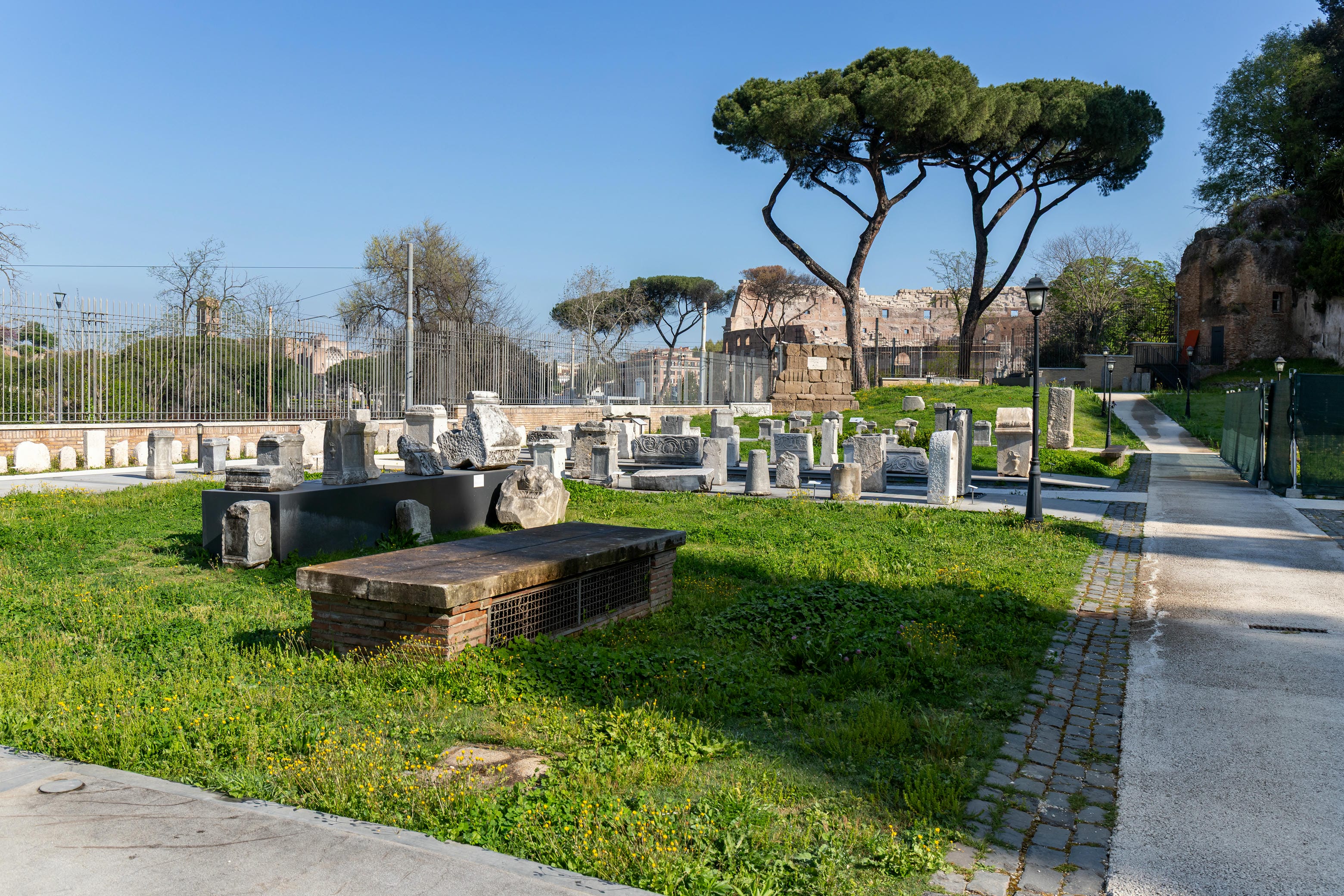
The archaeological walk, to be done physically with the help of a series of digital tools, starts from Via della Navicella and goes all the way to the Museum of Forma Urbis, crossing the top of the Celio from East to West along Via di San Paolo della Croce and Clivus Scauri. It includes 5 stops and 14 locations.
Discover the walk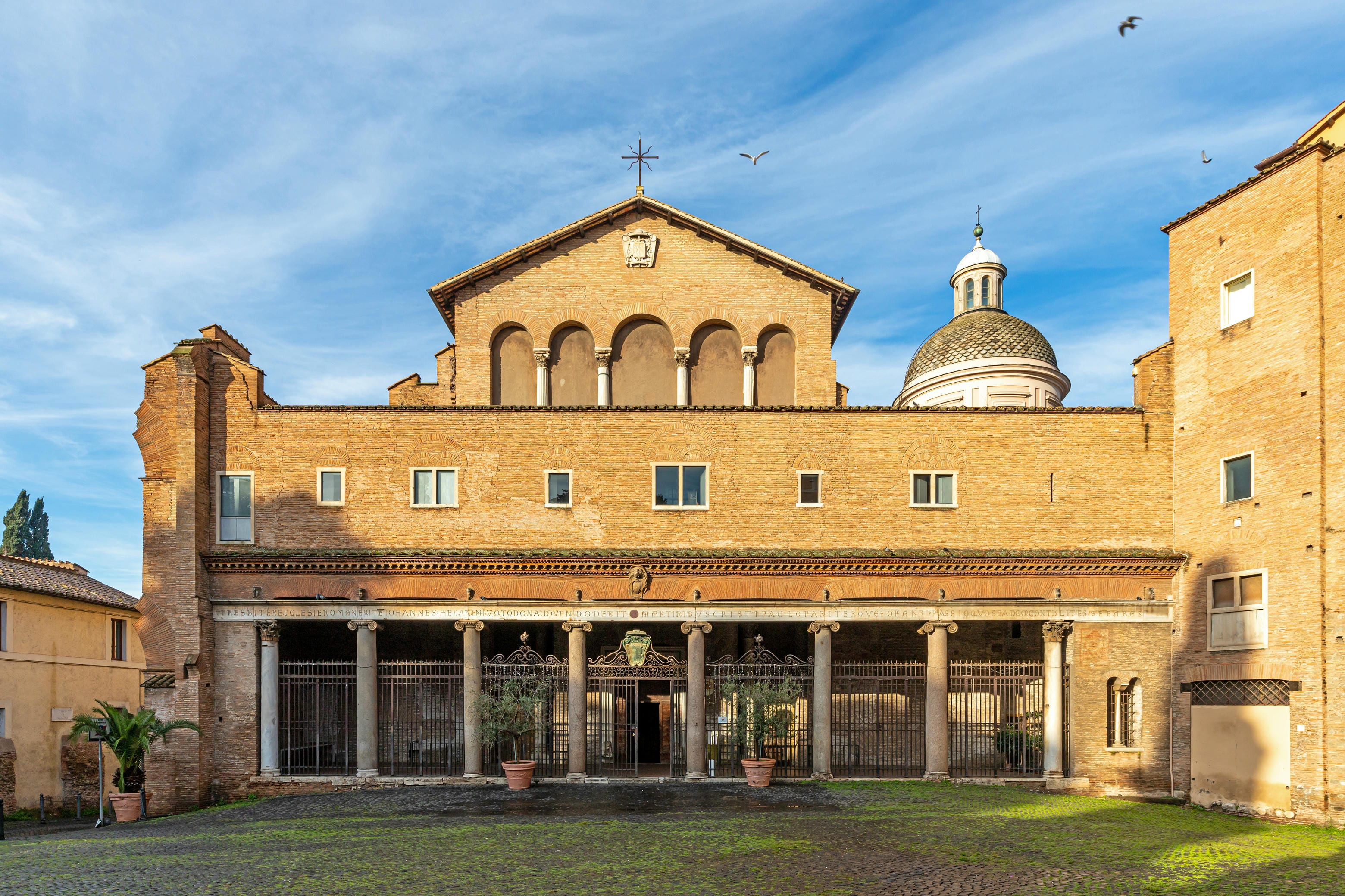
The project
An integrated project between research, popularization and technological innovation, combining archaeological and historical sources with the most advanced technologies of content representation and fruition.
Web Map & StoryMaps
An advanced platform to explore online, presenting research data integrated into digital narratives, with map tours, storymaps, temporal interactions and animations, bibliographic and iconographic insights.
Learn more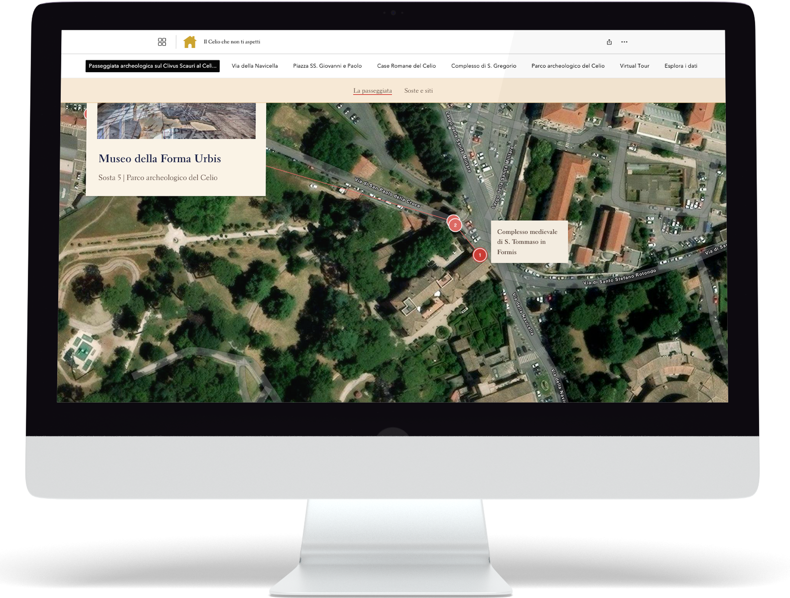
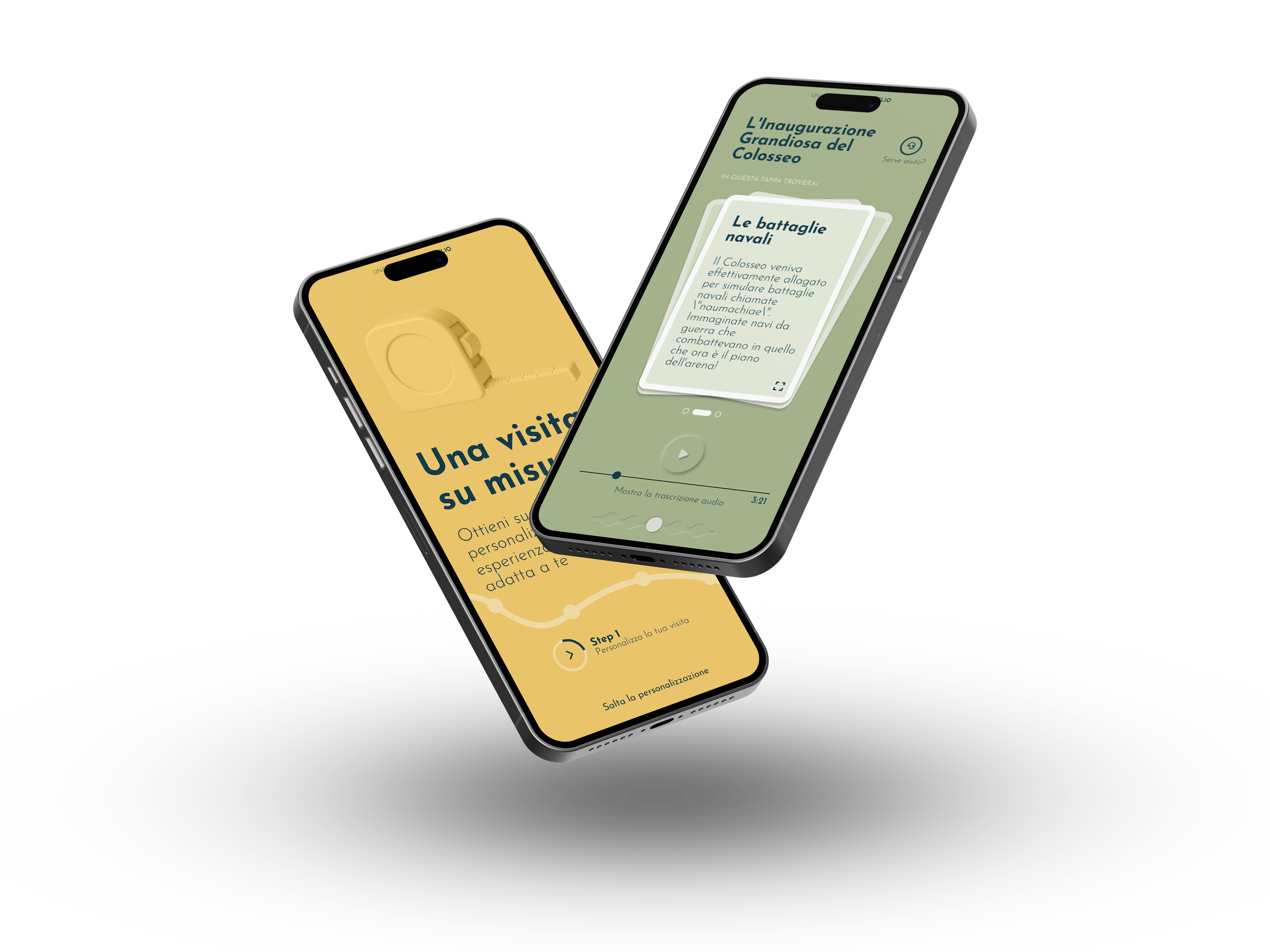
Interactive WebApp
An innovative WebApp that offers visitors the “right” audio guide for them, experimenting with a generative AI model that from scientific data modulates the narrative to specific targets.
Learn moreInteractive totem
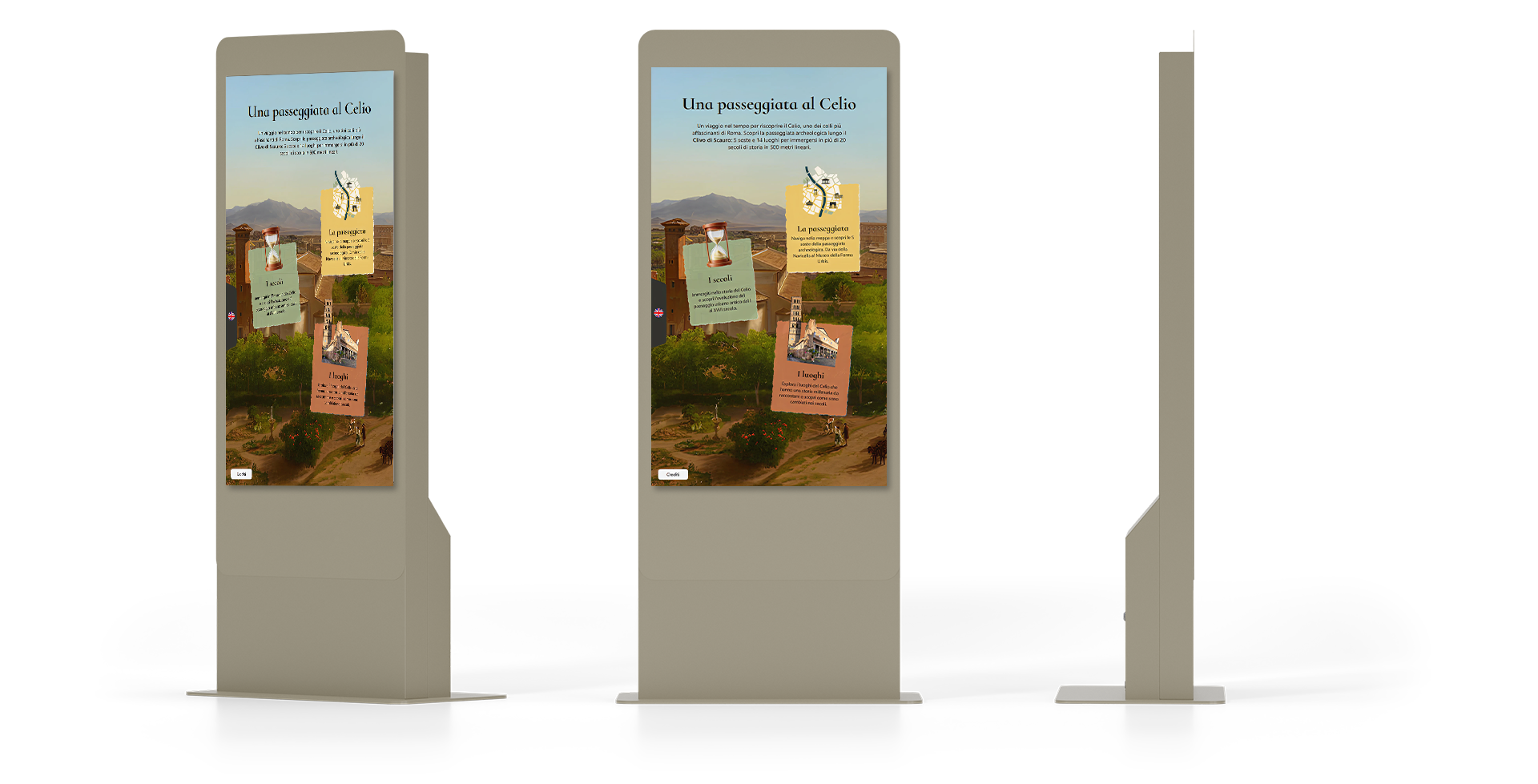
An interactive touch totem, located at the Roman Houses at the Caelian, designed to offer visitors different access keys to explore the route and navigate between sites of interest through the centuries.
Main features
-
5 stops along the Clivus Scaruri
-
More than 5,000 archaeological datas and records
-
Map tours, StoryMaps, temporal animations, bibliographies and iconographic content
-
Digital reconstructions, virtual tours and interactive totems
-
Audioguides generated by artificial intelligence algorithms and user profiling
-
Dashboards, interactive web maps and StoryMaps using ArcGIS technology.